


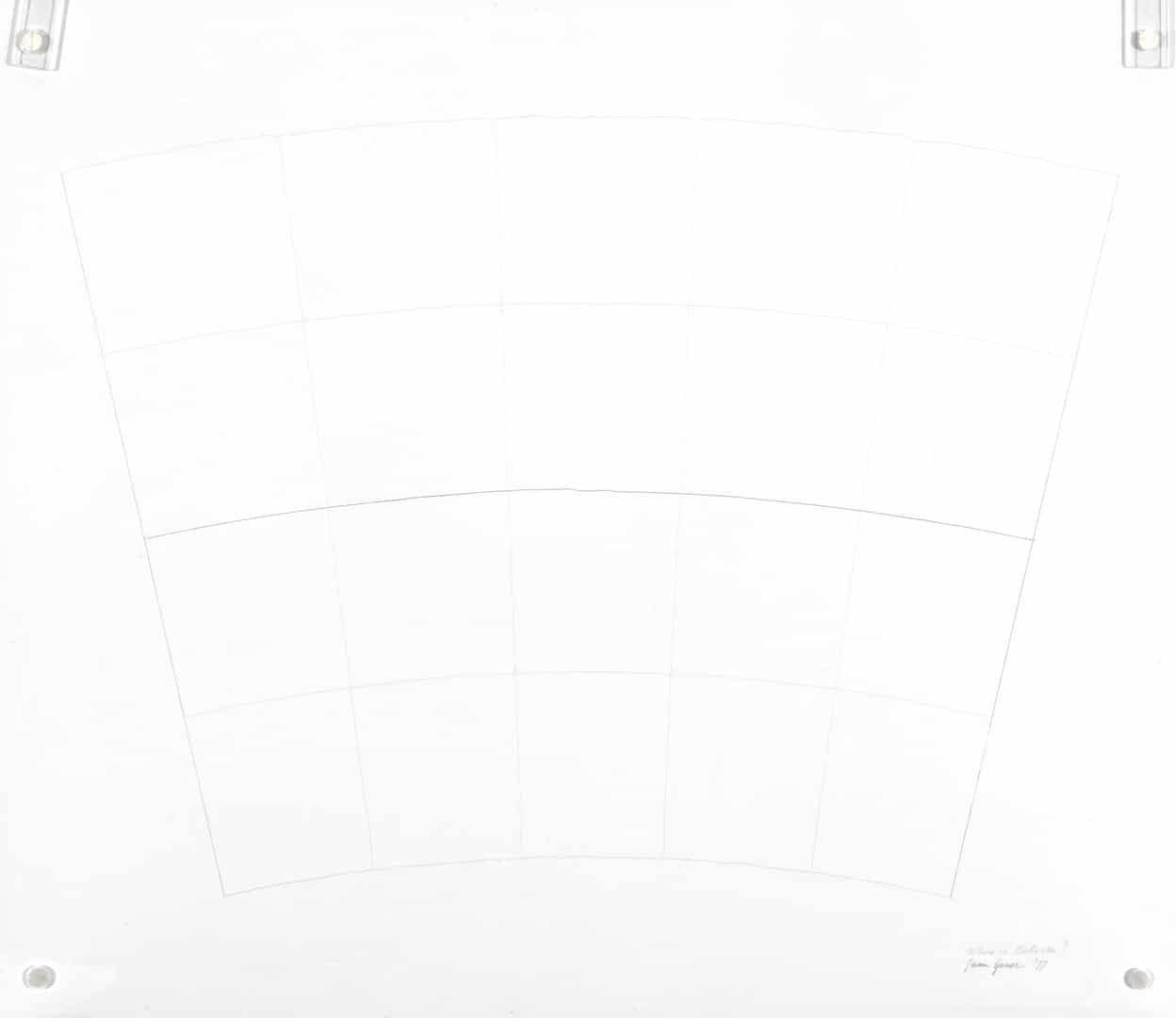
Cartographic Grids (Where is Bolivia?) [Grilles cartographiques (Où est la Bolivie ?)]
Juan Geuer
Date de naissance 1917
Lieu de naissance Soest, Holland
Date du décès 2009
Lieu du décès Almonte, Ontario
Technique tracé sur mylar blanc entre deux plexiglas
DATE 1977
DIMENSIONS 59,1cm x 54,6cm x 1,9cm
Numéro d'acquisition 2013.04.02
Détails Collection de la Galerie d'art d'Ottawa : don d'Else Geuer-Vermeij, 2013
Description du catalogue
Grille cartographique tracée sur papier Mylar. La grille, de forme trapézoïdale courbée, est placée de façon à ce que le rayon le plus grand soit en haut. Elle est formée de quatre rangées de cinq rectangles. La ligne horizontale du centre est plus foncée que les autres interlignes. L'image repose entre deux morceaux de Plexiglass.
Grille cartographique tracée sur papier Mylar. La grille, de forme trapézoïdale courbée, est placée de façon à ce que le rayon le plus grand soit en haut. Elle est formée de quatre rangées de cinq rectangles. La ligne horizontale du centre est plus foncée que les autres interlignes. L'image repose entre deux morceaux de Plexiglass.