


Cartographic Grids (Impact) [Grilles cartographiques (Choc)]
Juan Geuer
Date de naissance 1917
Lieu de naissance Soest, Holland
Date du décès 2009
Lieu du décès Almonte, Ontario
Technique tracé sur mylar blanc
DATE v.1975-1978
DIMENSIONS 91,4cm x 127cm x 1,9cm
Numéro d'acquisition 2013.04.17
Détails Collection de la Galerie d'art d'Ottawa : don d'Else Geuer-Vermeij, 2013
Description du catalogue
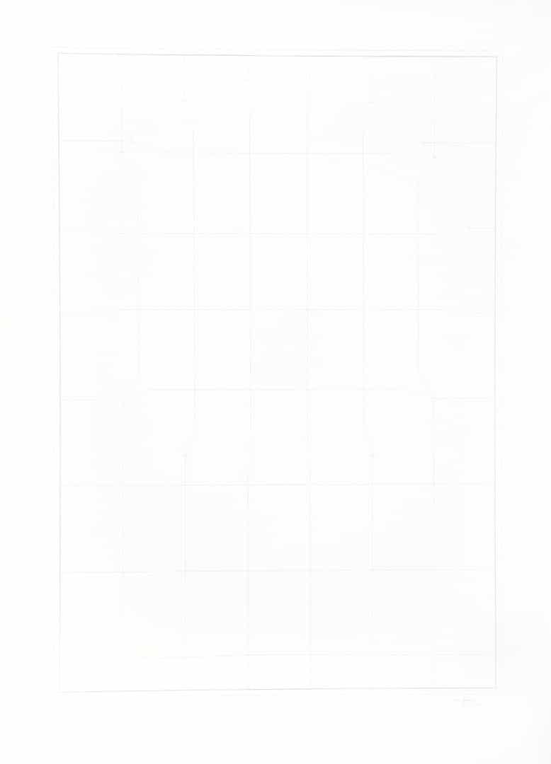
Grille rectangulaire verticale très pâle tracée sur papier Mylar blanc formé de huit rangées de sept rectangles.
Grille rectangulaire verticale très pâle tracée sur papier Mylar blanc formé de huit rangées de sept rectangles.